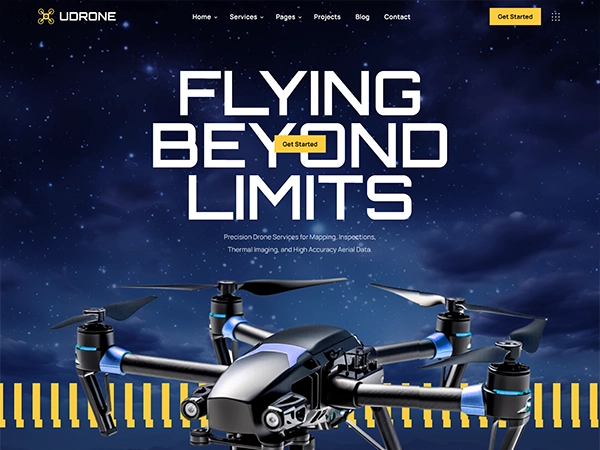
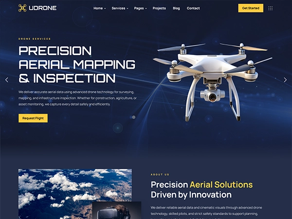
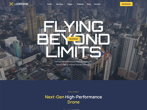

Precision Aerial Imaging For Professionals
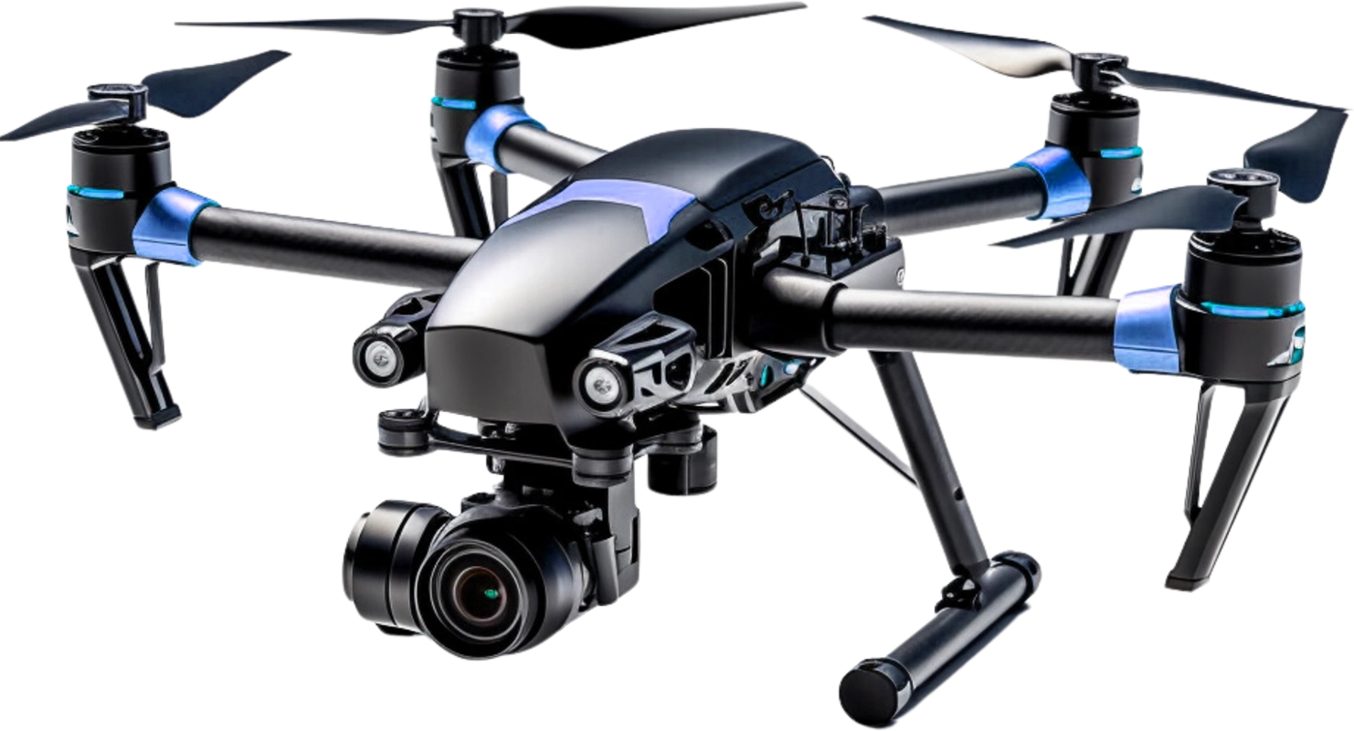
4K Stabilized Camera
4K resolution with 3-axis gimbal for smooth video.Brushless Motors
Efficient, quiet motors for powerful, reliable flight.Carbon Fiber Frame
Lightweight, strong carbon fiber for stability.GPS Assisted Navigation
HiPrecise GPS for stable hovering and auto return.01
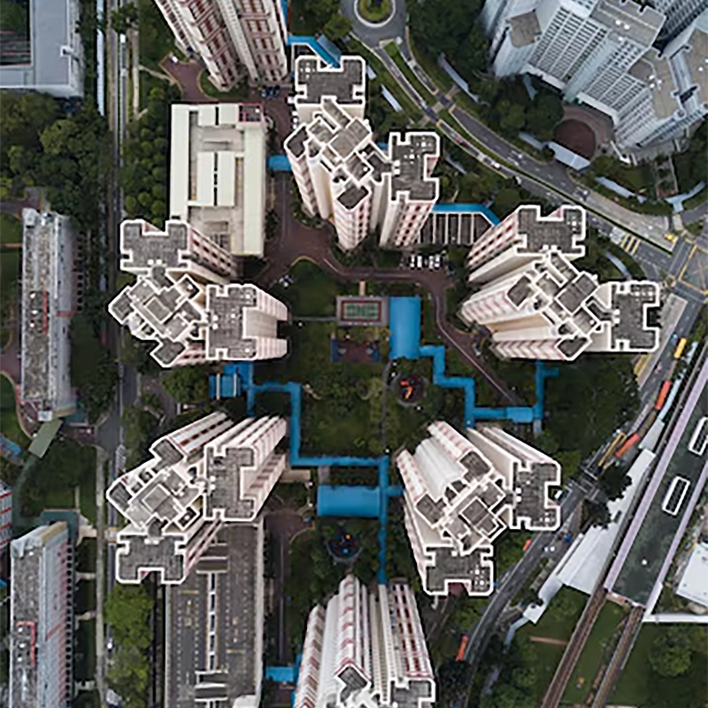
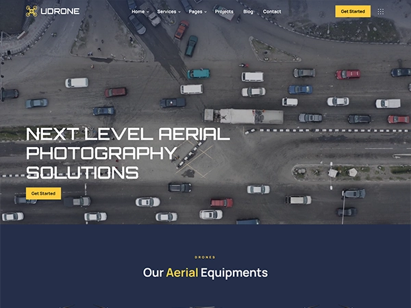
Aerial Photo & Video
Aerial and video services deliver stunning drone footage for mapping, inspection, marketing, events, real estate, surveys storytelling worldwide.
02

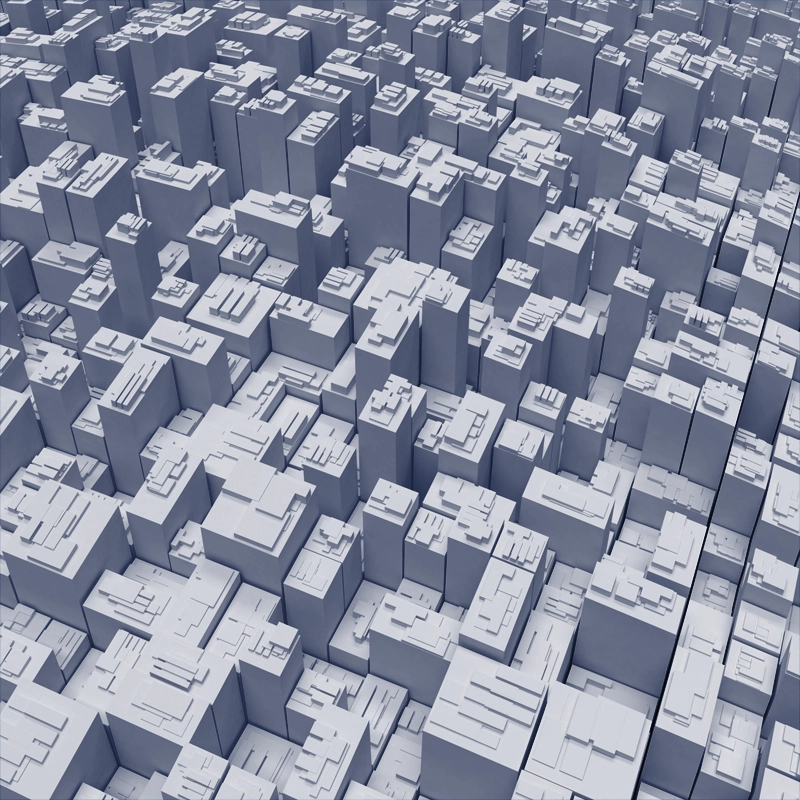
Mapping & Surveying
Mapping and surveying services deliver aerial data for terrain analysis, land planning, construction tracking, boundary checks, and reports plus.
03
Inspections & Monitoring
Inspection and monitoring services deliver real time drone data for asset checks, audits, infrastructure health tracking, and compliance reports.
04

Real Estate Photography
Real estate photography services capture stunning aerial views for homes, villas, apartments, marketing listings, tours, branding and promotions.
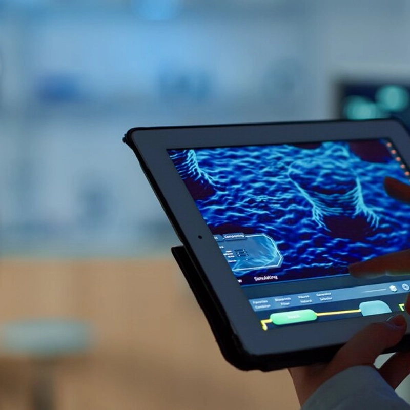
05
3D Modeling
3D modeling services generate precise assets for architecture engineering, visualization, simulations, measurements, planning and presentations.
06
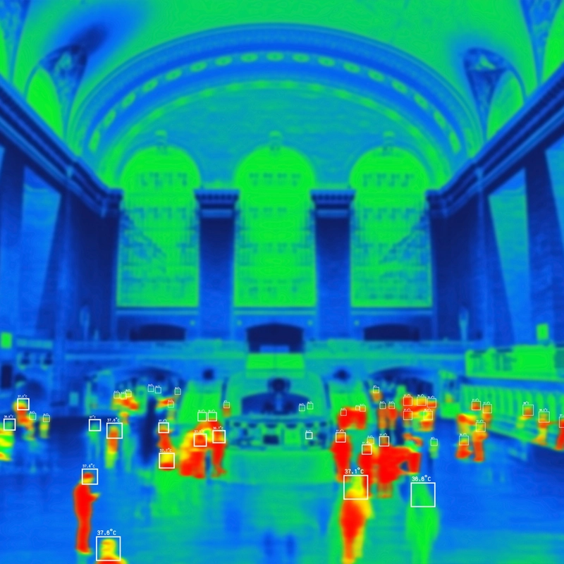
Thermal Imaging
Thermal imaging services detect heat patterns for electrical audits, roof leaks, solar checks, safety inspections, diagnostics and prevention.
Get In Touch
Have a question, suggestion, or just want to say hi? We’re here and happy to hear from you!