
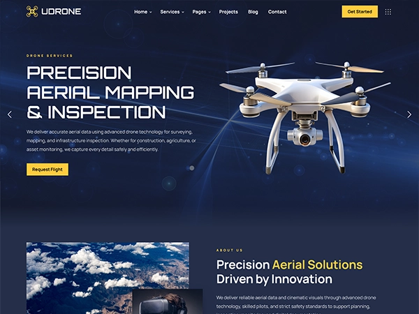

Precision Aerial Mapping & Inspection
We deliver accurate aerial data using advanced drone technology for surveying, mapping, and infrastructure inspection. Whether for construction, agriculture, or asset monitoring, we capture every detail safely and efficiently.
Request Flight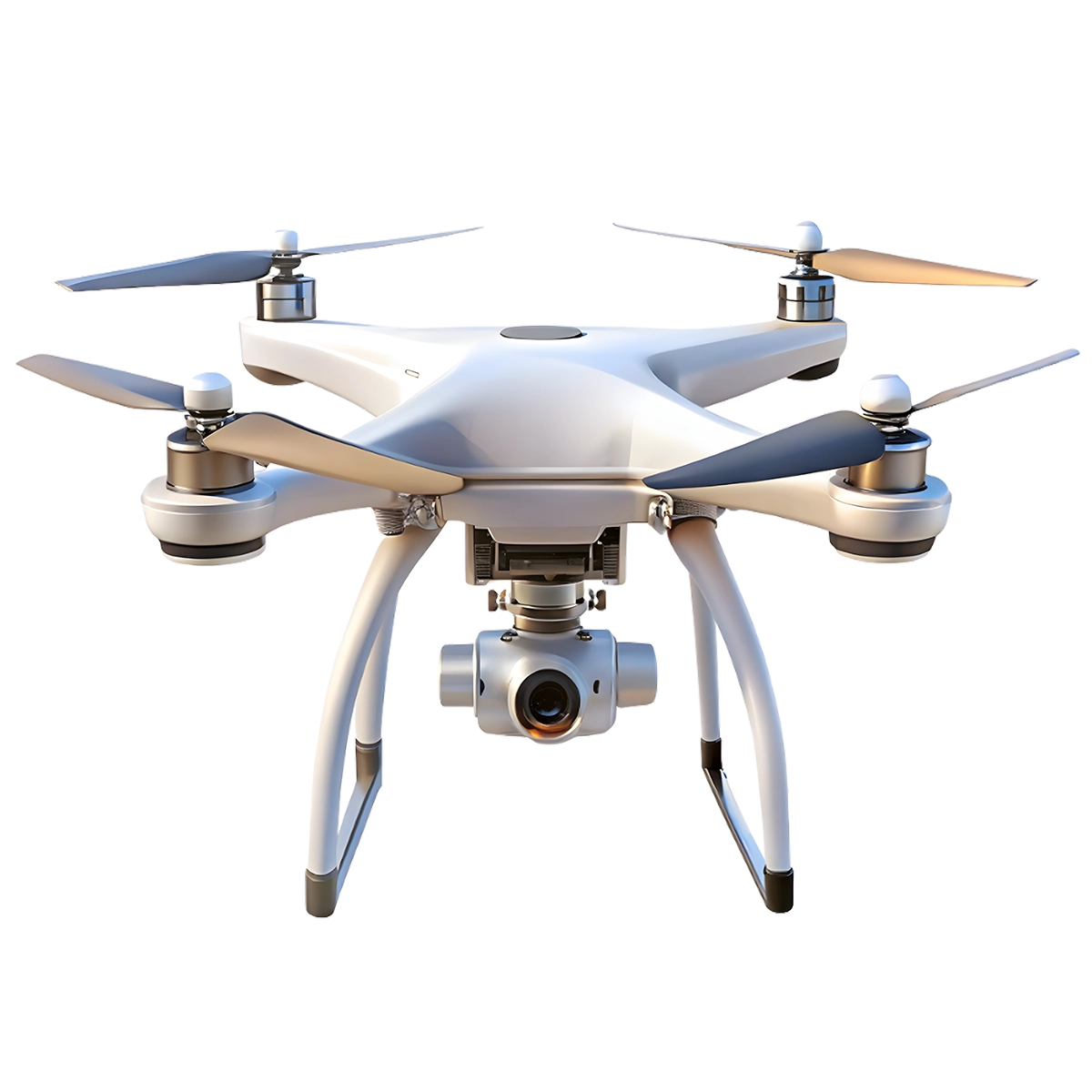
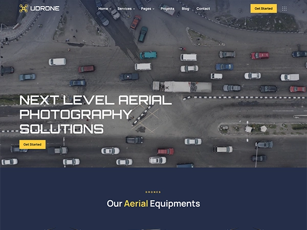
Professional Cinematic Aerial Video
We create stunning aerial visuals for marketing, events, real estate, and tourism campaigns. From smooth cinematic shots to dynamic tracking angles, our professional pilots deliver breathtaking results every time.
Start Project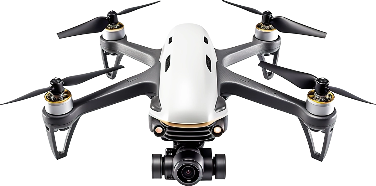


Precision Aerial Solutions Driven by Innovation
We deliver reliable aerial data and cinematic visuals through advanced drone technology, skilled pilots, and strict safety standards to support planning, inspection, monitoring, and digital documentation.
- High Precision Mapping Equipment
- Certified and Experienced Drone Pilots
- Flexible Project Based Solutions
0
0
0
0
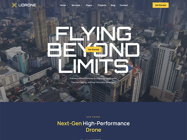
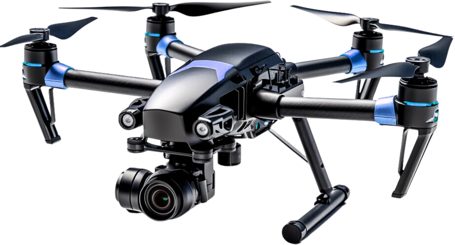
Next-Gen High-Performance Drone
4K Stabilized Camera
Capture sharp photos and smooth video with 3-axis stabilization.
Brushless Motors
Quiet, powerful motors for strong lift and enhanced durability.
4K Stabilized Camera
4K resolution with 3-axis gimbal for smooth video.Brushless Motors
Efficient, quiet motors for powerful, reliable flight.Carbon Fiber Frame
Lightweight, strong carbon fiber for stability.GPS Assisted Navigation
HiPrecise GPS for stable hovering and auto return.Carbon Fiber Frame
Lightweight and strong carbon fiber arms for stability and durability.
GPS Assisted Navigation
Stable hovering and auto return-to-home with precise GPS positioning.
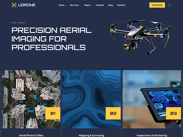
Innovative and Efficient Drone Services
01
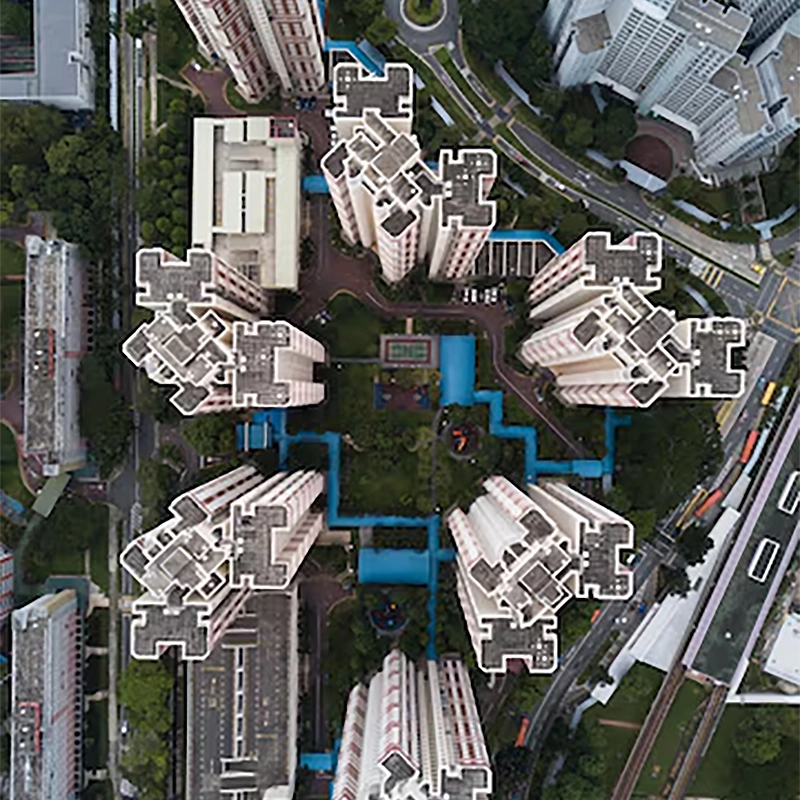
Aerial Photo & Video
Aerial and video services deliver stunning drone footage for mapping, inspection, marketing, events, real estate, surveys storytelling worldwide.
02

Mapping & Surveying
Mapping and surveying services deliver aerial data for terrain analysis, land planning, construction tracking, boundary checks, and reports plus.
03

Inspections & Monitoring
Inspection and monitoring services deliver real time drone data for asset checks, audits, infrastructure health tracking, and compliance reports.
Behind The Scene
Ryan Carter
Chief Drone Pilot

Olivia Stone
Aerial Survey Lead

Daniel Brooks
Flight Operations Head

Sophia Turner
Data Analysis Lead

Michael Reed
Payload Systems Lead

Ethan Walker
Systems Integration

Industry We Serve

Real Estate
Id commodo non consequat labore incididunt labore cillum dolor anim magna esse ex minim proident sint dolor exercitation ad.

Construction
Id commodo non consequat labore incididunt labore cillum dolor anim magna esse ex minim proident sint dolor exercitation ad.

Agriculture
Id commodo non consequat labore incididunt labore cillum dolor anim magna esse ex minim proident sint dolor exercitation ad.
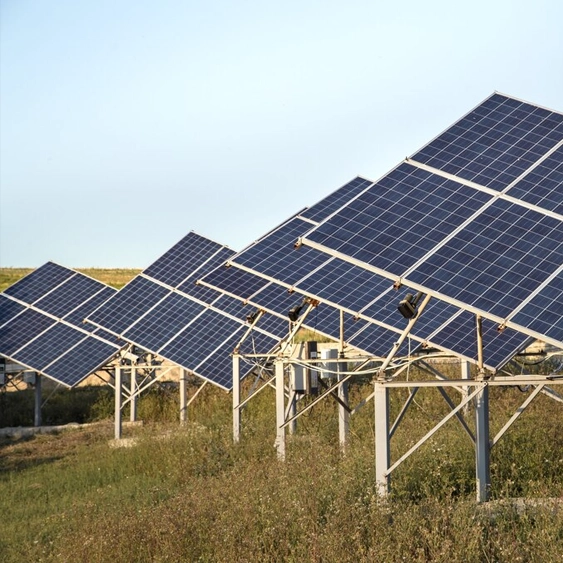
Energy
Id commodo non consequat labore incididunt labore cillum dolor anim magna esse ex minim proident sint dolor exercitation ad.

Advertising
Id commodo non consequat labore incididunt labore cillum dolor anim magna esse ex minim proident sint dolor exercitation ad.

Public Safety
Id commodo non consequat labore incididunt labore cillum dolor anim magna esse ex minim proident sint dolor exercitation ad.