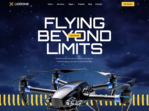
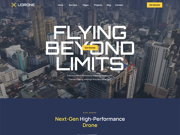
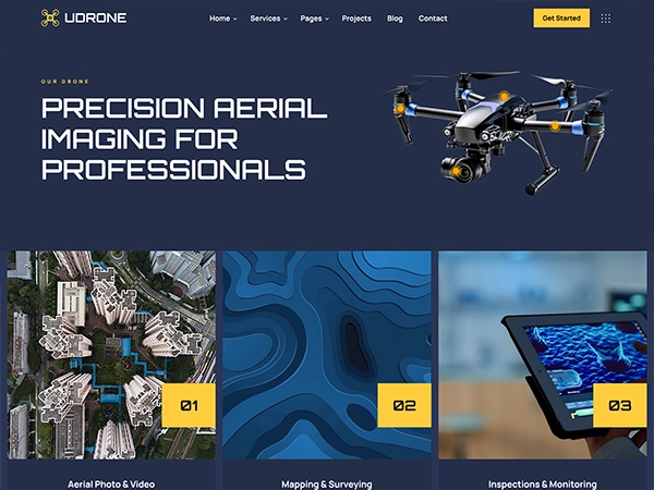

Flying
Beyond
Limits
Next-Gen High-Performance Drone
4K Stabilized Camera
Capture sharp photos and smooth video with 3-axis stabilization.
Brushless Motors
Quiet, powerful motors for strong lift and enhanced durability.
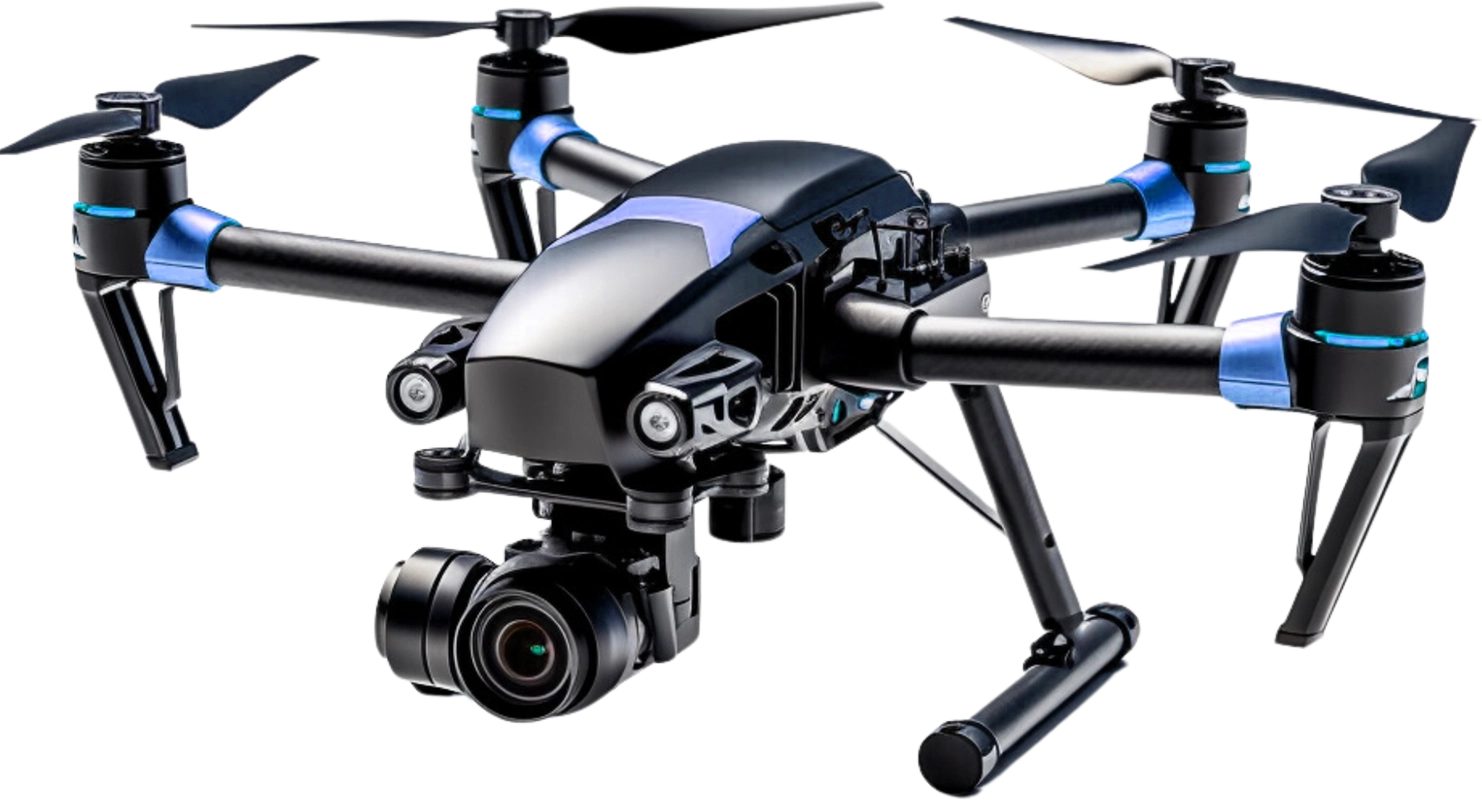
4K Stabilized Camera
4K resolution with 3-axis gimbal for smooth video.Brushless Motors
Efficient, quiet motors for powerful, reliable flight.Carbon Fiber Frame
Lightweight, strong carbon fiber for stability.GPS Assisted Navigation
HiPrecise GPS for stable hovering and auto return.Carbon Fiber Frame
Lightweight and strong carbon fiber arms for stability and durability.
GPS Assisted Navigation
Stable hovering and auto return-to-home with precise GPS positioning.
01
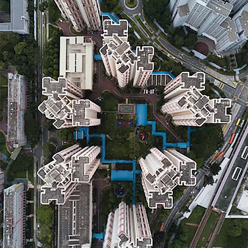
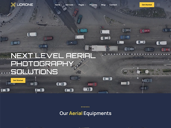
Aerial Photo & Video
Aerial and video services deliver stunning drone footage for mapping, inspection, marketing, events, real estate, surveys storytelling worldwide.
01

Mapping & Surveying
Mapping and surveying services deliver aerial data for terrain analysis, land planning, construction tracking, boundary checks, and reports plus.
01
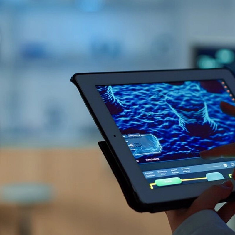
Inspections & Monitoring
Inspection and monitoring services deliver real time drone data for asset checks, audits, infrastructure health tracking, and compliance reports.
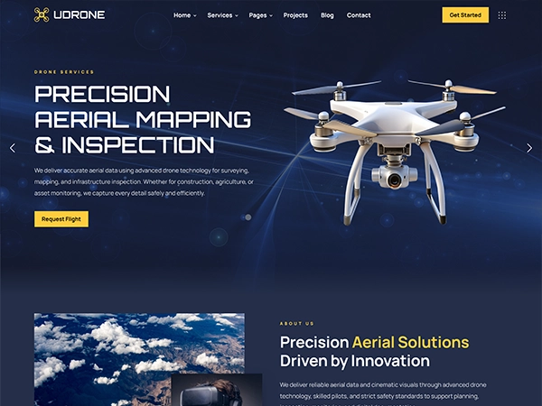
Precision aerial solutions deliver drone mapping and cinematic imaging for commercial projects, using advanced technology and expert pilots to capture accurate data and stunning visuals every mission.
 Michael S.Customer
"The aerial footage was incredibly sharp, smooth, and visually stunning. Professional flight handling, precise camera movement, and fast delivery made the entire production process seamless and highly impressive."
 Robert L.Customer
"The aerial footage was incredibly sharp, smooth, and visually stunning. Professional flight handling, precise camera movement, and fast delivery made the entire production process seamless and highly impressive."
 Jake M.Customer
"The aerial footage was incredibly sharp, smooth, and visually stunning. Professional flight handling, precise camera movement, and fast delivery made the entire production process seamless and highly impressive."
 Alex P.Customer
"The aerial footage was incredibly sharp, smooth, and visually stunning. Professional flight handling, precise camera movement, and fast delivery made the entire production process seamless and highly impressive."
 Carlos R.Customer
"The aerial footage was incredibly sharp, smooth, and visually stunning. Professional flight handling, precise camera movement, and fast delivery made the entire production process seamless and highly impressive."
 Edward B.Customer
"The aerial footage was incredibly sharp, smooth, and visually stunning. Professional flight handling, precise camera movement, and fast delivery made the entire production process seamless and highly impressive."
 Daniel H.Customer
"The aerial footage was incredibly sharp, smooth, and visually stunning. Professional flight handling, precise camera movement, and fast delivery made the entire production process seamless and highly impressive."
 Bryan G.Customer
"The aerial footage was incredibly sharp, smooth, and visually stunning. Professional flight handling, precise camera movement, and fast delivery made the entire production process seamless and highly impressive."
Industry We Serve
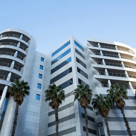
Real Estate
Id commodo non consequat labore incididunt labore cillum dolor anim magna esse ex minim proident sint dolor exercitation ad.
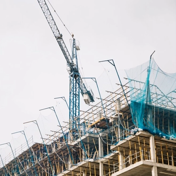
Construction
Id commodo non consequat labore incididunt labore cillum dolor anim magna esse ex minim proident sint dolor exercitation ad.

Agriculture
Id commodo non consequat labore incididunt labore cillum dolor anim magna esse ex minim proident sint dolor exercitation ad.
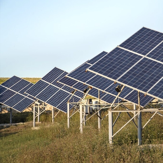
Energy
Id commodo non consequat labore incididunt labore cillum dolor anim magna esse ex minim proident sint dolor exercitation ad.
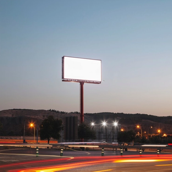
Advertising
Id commodo non consequat labore incididunt labore cillum dolor anim magna esse ex minim proident sint dolor exercitation ad.
Public Safety
Id commodo non consequat labore incididunt labore cillum dolor anim magna esse ex minim proident sint dolor exercitation ad.